
🔎 This story is still developing. We will update it as we learn more!
Monster Storm! One of the Most Powerful Hurricanes Ever Is Swirling Near Mexico
Quick Summary
A massive hurricane called Polo is spinning in the Pacific Ocean near Mexico’s coast. Scientists say it is one of the most powerful Pacific storms on record. Forecasters, rescue workers, and local communities are working hard to keep everyone safe.
What Happened?
Hurricane Polo exploded in strength earlier this week. It went from a mild storm to a terrifying monster in less than 24 hours. Imagine a car going from 0 to 150 miles per hour in one day — that is basically what Polo’s winds did.
At its strongest, Polo had winds of 165 miles per hour. That makes it a Category 5 hurricane — the highest level on the scale scientists use to measure storm power. It became the second-most powerful Pacific hurricane ever measured, behind only the famous Hurricane Patricia in 2015.
Scientists call this kind of speed-up “extreme rapid intensification.” It means a storm’s winds jump by at least 58 miles per hour in just one day. Polo’s winds actually jumped more than 100 miles per hour in 24 hours — one of the fastest on record anywhere on Earth.
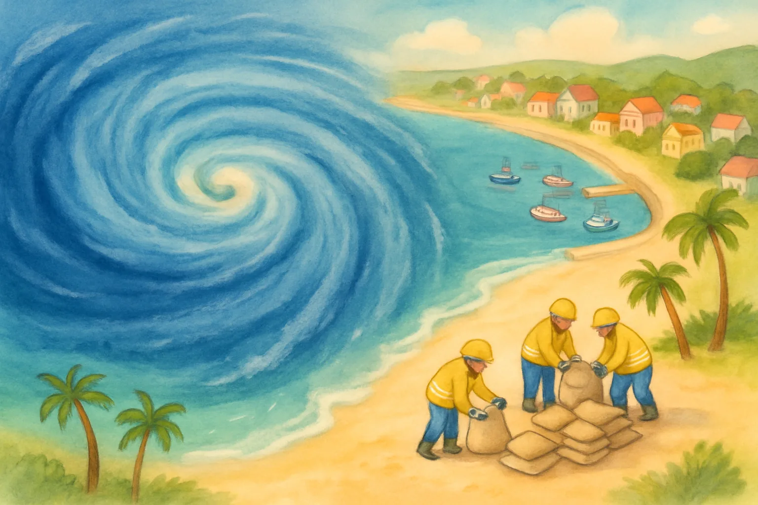
The good news? Forecasters expect the storm to stay mostly offshore and not make a direct hit on land. Mexico’s Navy closed ports in the states of Guerrero and Michoacán to keep ships and fishermen safe. Authorities also set up sandbags and safety barriers along beaches. Schools in some areas were closed as a precaution.
By today (Thursday), Polo has weakened slightly to a Category 4 storm. But it is still bringing very large waves and heavy rain to coastal communities. Forecasters are also watching to see if it could approach the Baja California peninsula later this weekend.
A second storm, called Odalys, is also in the Pacific but is not threatening any land.
Why Does It Matter?
Hurricane Polo is a reminder of how fast and powerful nature can be. Scientists believe unusually warm ocean water this year helped Polo grow so quickly. Warm water is fuel for hurricanes — the warmer it is, the more energy a storm can absorb.
The fast response by weather forecasters and emergency workers is making a real difference. Teams using satellites and computer models can now predict storms days in advance. That gives people time to prepare and stay safe. Even when storms are enormous, good preparation saves lives.
Big Words
- Hurricane — a very large, spinning storm with powerful winds and heavy rain that forms over warm ocean water
- Category 5 — the strongest level on the Saffir-Simpson scale, meaning winds faster than 157 miles per hour
- Rapid intensification — when a storm’s winds suddenly get much stronger in a very short time
- Forecaster — a scientist who studies weather patterns to predict what storms will do next
- Offshore — out at sea, away from the shore or coast
Fun Fact
Hurricane Patricia in 2015 holds the record for the most powerful Pacific hurricane ever, with winds that reached 215 miles per hour — fast enough to outrun a race car!
Think About It
If you were a weather forecaster, what tools would you want to use to track a giant storm and warn people in time?
Sources
- PBS NewsHour — ‘Polo off Mexican coast is among the strongest storms ever’
- CBS News — ‘Hurricane Polo, an extremely powerful Category 5 storm, swirls off Mexico’s Pacific coast’
- Euronews — ‘Hurricane Polo brings powerful waves to Mexico’s Pacific coast’ (Sep 24, 2026)
- Yale Climate Connections — ‘Powerful Hurricane Polo threatens Mexico with torrential rain’